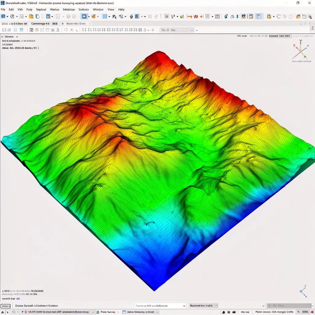
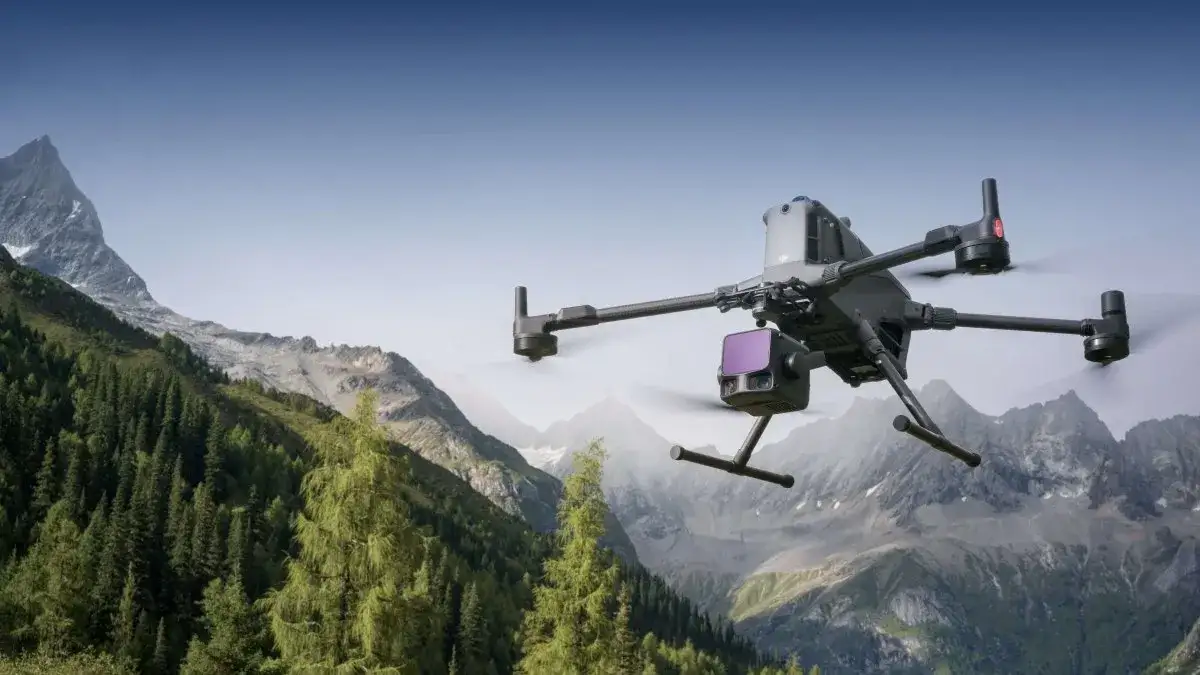
Drone LiDAR scanning
LiDAR surveys, georeferenced orthomosaics, digital terrain models and volumetric calculations for technical projects.
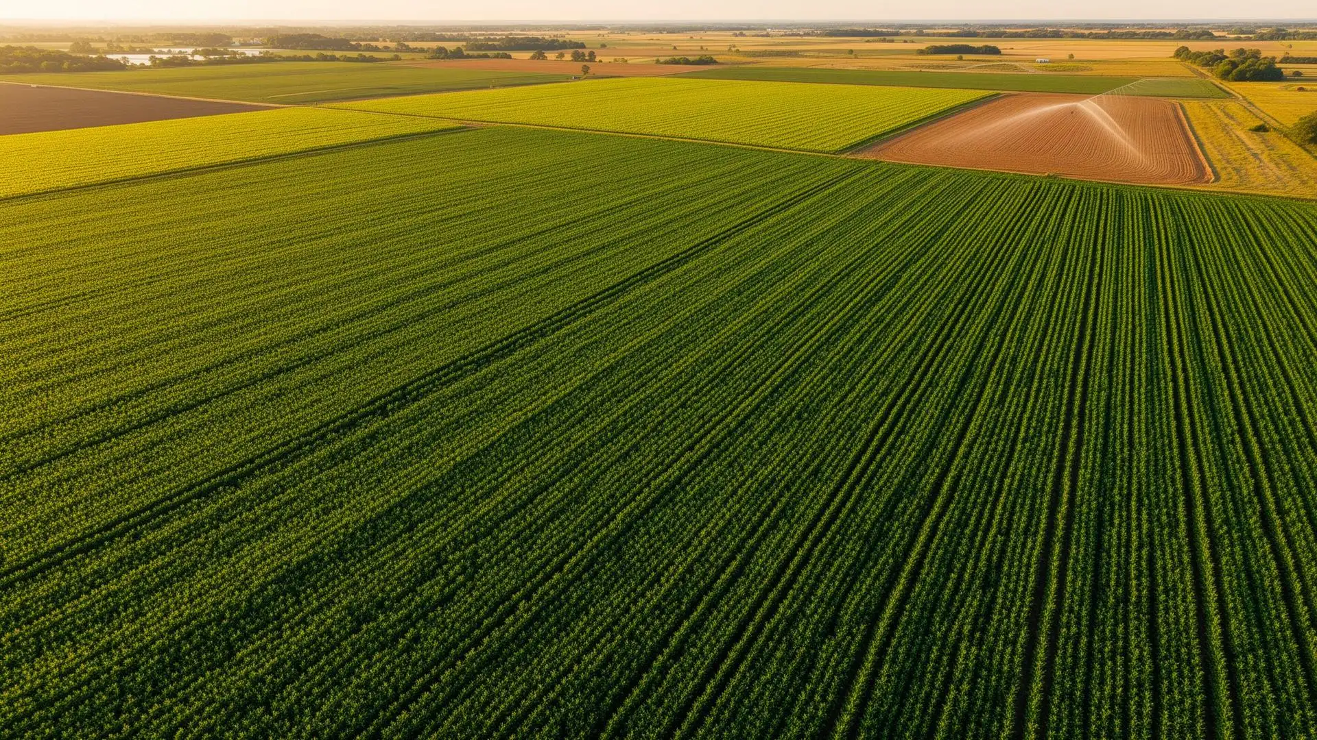
- Orthomosaic and base mapping
- Terrain model, contour lines and LiDAR support
- Support for engineering, worksites and land management