Roofs, rural properties, solar assets and wide outdoor sites
Visual documentation and maintenance support 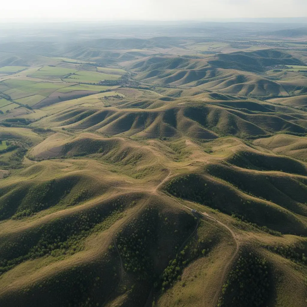
Aerial drone inspections for safer asset review
Service designed to review roofs, solar assets, properties and other infrastructure with safer access, stronger visual context and less dependence on direct entry.
More visual context for maintenance, monitoring and validation
Capture adapted to the project and sensor requirements
What an aerial inspection is useful for
It is valuable when roofs, facilities or outdoor assets need to be reviewed without depending only on direct physical access and when better visual context is needed before acting.
It also works well for documenting the status of a property or asset, tracking changes over time and preparing internal technical material.
Typical value expected by clients
- High-detail aerial imagery for inspection or monitoring.
- Organized visual documentation for technical and maintenance teams.
- Visual location support for issues or points that need further review.
- Material that supports reports, validation and asset follow-up.
Best fit
Where it usually fits best
1
Roofs and façades with difficult access.
2
Solar installations and large rural spaces.
3
Properties, facilities, tanks or infrastructure requiring visual follow-up.
4
Teams that want clear imagery before committing to an intervention.
Process
How an aerial inspection is handled
1
Initial goal
We clarify what needs to be reviewed, how much detail is required and how the material will be used.
2
Flight plan
The capture is prepared around the asset type, surroundings and critical inspection points.
3
Image capture
We fly the asset, capture the imagery and organize the material for easy review.
4
Final delivery
The final documentation is delivered with the most relevant points clearly structured.
Visual documentation and maintenance support
Aerial drone inspections for safer asset review
Service designed to review roofs, solar assets, properties and other infrastructure with safer access, stronger visual context and less dependence on direct entry.
- Roofs, rural properties, solar assets and wide outdoor sites
- More visual context for maintenance, monitoring and validation
- Capture adapted to the project and sensor requirements
Summary
What an aerial inspection is useful for
It is valuable when roofs, facilities or outdoor assets need to be reviewed without depending only on direct physical access and when better visual context is needed before acting.
It also works well for documenting the status of a property or asset, tracking changes over time and preparing internal technical material.
Deliverables
Typical value expected by clients
- High-detail aerial imagery for inspection or monitoring.
- Organized visual documentation for technical and maintenance teams.
- Visual location support for issues or points that need further review.
- Material that supports reports, validation and asset follow-up.
Best fit
Where it usually fits best
Roofs and façades with difficult access.
Solar installations and large rural spaces.
Properties, facilities, tanks or infrastructure requiring visual follow-up.
Teams that want clear imagery before committing to an intervention.
Process
How an aerial inspection is handled
1
Initial goal
We clarify what needs to be reviewed, how much detail is required and how the material will be used.
2
Flight plan
The capture is prepared around the asset type, surroundings and critical inspection points.
3
Image capture
We fly the asset, capture the imagery and organize the material for easy review.
4
Final delivery
The final documentation is delivered with the most relevant points clearly structured.
Tell us about the project
Contact Servidrone
The more context you send, the easier it is to assess the real scope and suggest the right service.
FAQ
Aerial inspection FAQ
Can this be used for roofs and solar panels?
Yes. It is one of the most common uses because it improves visual context while reducing dependence on direct access.
Do you only deliver photos?
Not necessarily. The value is in how the documentation is structured and how useful it is for maintenance, monitoring or technical review.
Can it document the state of a property or rural asset?
Yes. It is well suited to visual documentation of a property, installation or surrounding environment.